Voorvertoning

Collecties

Are you looking for Wall murals with World map?
Take a look at our wide range of Wall murals with World map online, choose your favorite photo and we will print it in your desired size!

Let's create a cosy atmosphere with World map Wall murals in your home in the living room, bedroom, kitchen, children's room, dining room, bathroom or toilet.

Filter

Image type
People
Orientation
Color
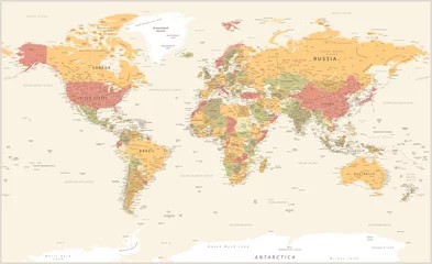
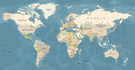
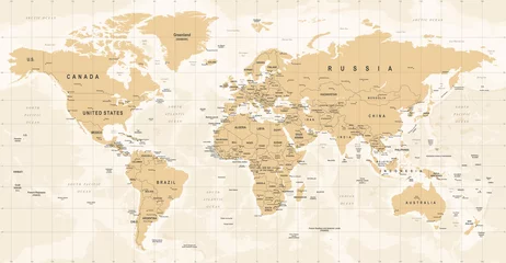
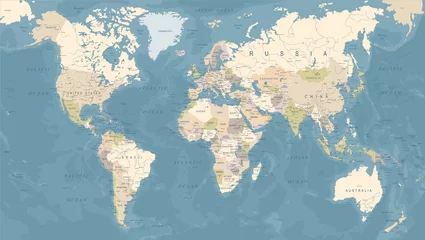
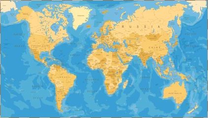
  • Wall murals World map World Map Vintage Political - Vector Detailed Illustration - Layers favorite favorite
    Wall murals World Map Vintage Political - Vector Detailed Illustration - Layers
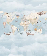
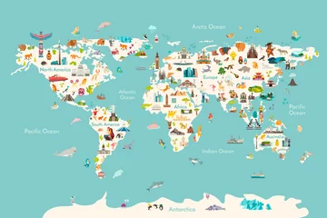
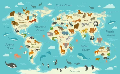
  • Wall murals World map Children's map of the world in English. Detailed world map with the names of countries and capitals, with animals, airplanes and balloons. Children's educational photo wallpaper with the world map on favorite favorite
    Wall murals Children's map of the world in English. Detailed world map with the names of countries and capitals, with animals, airplanes and balloons. Children's educational photo wallpaper with the world map on
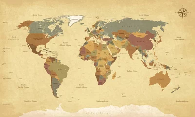
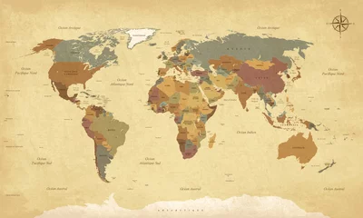
  • Wall murals World map Textured vintage world map - English/US Labels - Vector CMYK favorite favorite
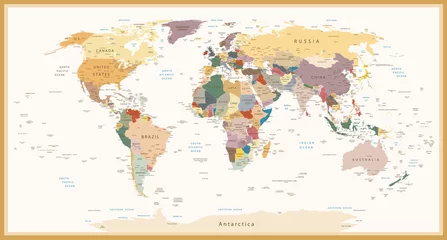
    Wall murals Textured vintage world map - English/US Labels - Vector CMYK
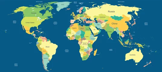
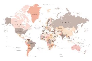
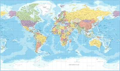
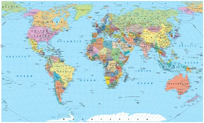
  • Wall murals World map Highly detailed political world map favorite favorite
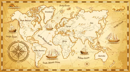
    Wall murals Highly detailed political world map
  • Wall murals World map World map vector illustration. Landmarks, sight and animals hand draw icon. World vector poster for children, cute illustrated. Travel concept card favorite favorite
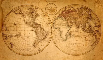
    Wall murals World map vector illustration. Landmarks, sight and animals hand draw icon. World vector poster for children, cute illustrated. Travel concept card
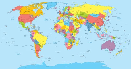
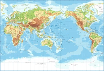
  • Wall murals World map World Map - Pacific View - Physical Topographic - Vector Detailed Illustration favorite favorite
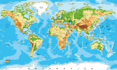
    Wall murals World Map - Pacific View - Physical Topographic - Vector Detailed Illustration
  • Wall murals World map world map - all layers outlined stars-Colourful Illustration showing country names, State names (USA & Australia), capital cities, major lakes and oceans. Print at no less than 36". Jpeg image favorite favorite
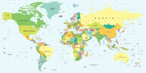
    Wall murals world map - all layers outlined stars-Colourful Illustration showing country names, State names (USA & Australia), capital cities, major lakes and oceans. Print at no less than 36". Jpeg image
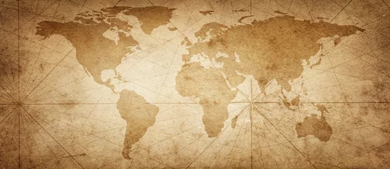
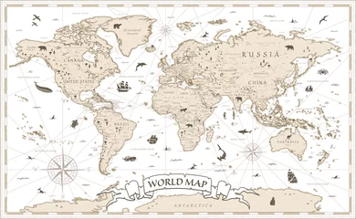
  • Wall murals World map Old map of the world on a old parchment background. Vintage style. Elements of this Image Furnished by NASA. favorite favorite
    Wall murals Old map of the world on a old parchment background. Vintage style. Elements of this Image Furnished by NASA.
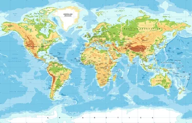
  • Wall murals World map Extra large big map with highest resolution detail avalable. XXL size physical world map illustration Clipping patch included. Primary source, elements of this image furnished by NASA favorite favorite
    Wall murals Extra large big map with highest resolution detail avalable. XXL size physical world map illustration Clipping patch included. Primary source, elements of this image furnished by NASA
  • Wall murals World map World Map Vector. Detailed illustration of worldmap favorite favorite
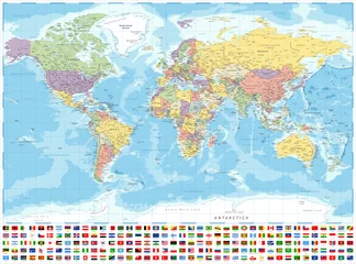
    Wall murals World Map Vector. Detailed illustration of worldmap
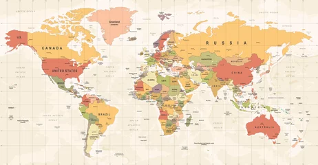
  • Wall murals World map World Map Vintage Vector. Detailed illustration of worldmap favorite favorite
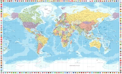
    Wall murals World Map Vintage Vector. Detailed illustration of worldmap
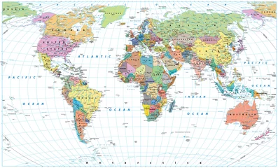
  • Wall murals World map Colored World Map - borders, countries, roads and cities. Isolated on white favorite favorite
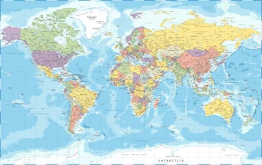
    Wall murals Colored World Map - borders, countries, roads and cities. Isolated on white
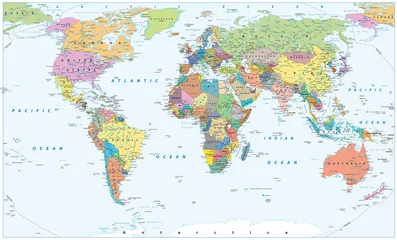
  • Wall murals World map World Map - Political - Vector Detailed Illustration favorite favorite
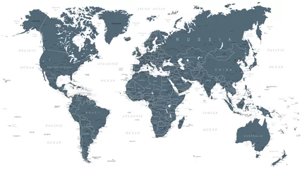
    Wall murals World Map - Political - Vector Detailed Illustration
  • Wall murals World map Colored World Map - borders, countries, roads and cities favorite favorite
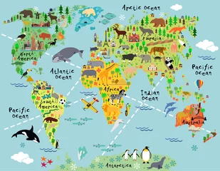
    Wall murals Colored World Map - borders, countries, roads and cities
  • Wall murals World map Political World Map - borders, countries and cities favorite favorite
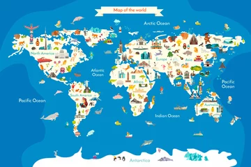
    Wall murals Political World Map - borders, countries and cities
  • Wall murals World map Old Vintage World Map favorite favorite
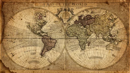
    Wall murals Old Vintage World Map
  • Wall murals World map Old map of the world on a old parchment background. Vintage style. Elements of this Image Furnished by NASA. favorite favorite
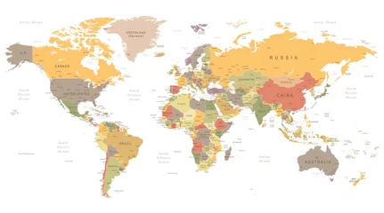
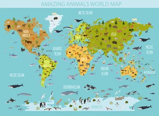
    Wall murals Old map of the world on a old parchment background. Vintage style. Elements of this Image Furnished by NASA.
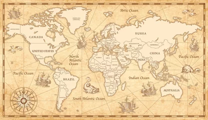
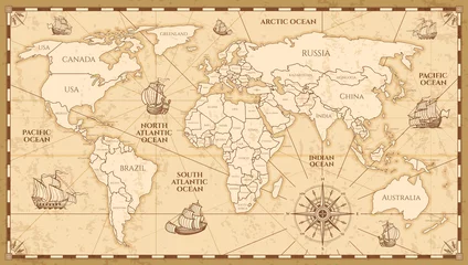
  • Wall murals World map Vector antique world map with countries boundaries favorite favorite
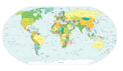
    Wall murals Vector antique world map with countries boundaries
  • Wall murals World map World Map Vintage Vector favorite favorite
    Wall murals World Map Vintage Vector
  • Wall murals World map Vintage world map on old parchment paper favorite favorite
    Wall murals Vintage world map on old parchment paper
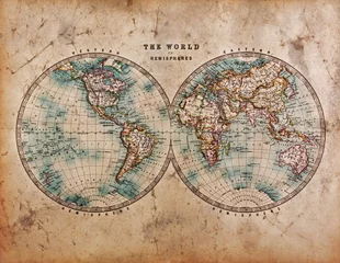
  • Wall murals World map Old World Map in Hemispheres favorite favorite
    Wall murals Old World Map in Hemispheres
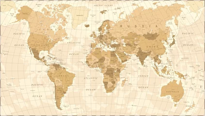
  • Wall murals World map Highly Detailed Political World Map Vintage Colors favorite favorite
    Wall murals Highly Detailed Political World Map Vintage Colors
  • Wall murals World map Ancient world map ships and continents compass marine navigation favorite favorite
    Wall murals Ancient world map ships and continents compass marine navigation
  • Wall murals World map old map 1799 favorite favorite
    Wall murals old map 1799
  • Wall murals World map World map with countries, country and city names favorite favorite
    Wall murals World map with countries, country and city names
  • Wall murals World map Physical map of the world favorite favorite
    Wall murals Physical map of the world
  • Wall murals World map World Map - highly detailed vector illustration. favorite favorite
    Wall murals World Map - highly detailed vector illustration.
  • Wall murals World map Physical World Map   favorite favorite
    Wall murals Physical World Map
  • Wall murals World map World Map Vintage Cartoon Detailed - vector favorite favorite
    Wall murals World Map Vintage Cartoon Detailed - vector
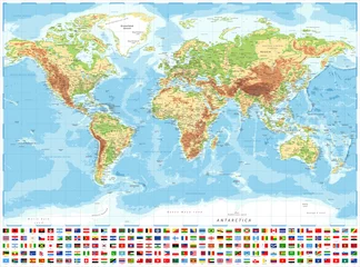
  • Wall murals World map World Map Political and Flags - Vector Detailed Illustration favorite favorite
    Wall murals World Map Political and Flags - Vector Detailed Illustration
  • Wall murals World map World Map Political and Flags - Vector Detailed Illustration favorite favorite
    Wall murals World Map Political and Flags - Vector Detailed Illustration
  • Wall murals World map World Map - Political - Vector Detailed Illustration favorite favorite
    Wall murals World Map - Political - Vector Detailed Illustration
  • Wall murals World map World Map Political Grayscale Vector favorite favorite
    Wall murals World Map Political Grayscale Vector
  • Wall murals World map Cartoon world map favorite favorite
    Wall murals Cartoon world map
  • Wall murals World map Animals world landmarks map for kid. World vector poster for children, cute illustrated. Cartoon globe with animals. Oceans and continent: South America, Eurasia, North America, Africa, Australia favorite favorite
    Wall murals Animals world landmarks map for kid. World vector poster for children, cute illustrated. Cartoon globe with animals. Oceans and continent: South America, Eurasia, North America, Africa, Australia
  • Wall murals World map vintage map of the world favorite favorite
    Wall murals vintage map of the world
  • Wall murals World map World Map Vintage favorite favorite
    Wall murals World Map Vintage
  • Wall murals World map Flat world flora and fauna map constructor elements. Animals, birds and sea life isolated big set. Build your own geography infographics collection. favorite favorite
    Wall murals Flat world flora and fauna map constructor elements. Animals, birds and sea life isolated big set. Build your own geography infographics collection.
  • Wall murals World map world map political boundaries favorite favorite
    Wall murals world map political boundaries
  • Wall murals World map Detailed world map in retro colors with borders and country names, widescreen vector illustration 21-9 favorite favorite
    Wall murals Detailed world map in retro colors with borders and country names, widescreen vector illustration 21-9
  • Wall murals World map World Map Vintage Vector. Detailed illustration of worldmap favorite favorite
    Wall murals World Map Vintage Vector. Detailed illustration of worldmap
  • Wall murals World map World Map Paper Vintage favorite favorite
    Wall murals World Map Paper Vintage
  • Wall murals World map Vintage World Map - Vector Illustration favorite favorite
    Wall murals Vintage World Map - Vector Illustration
  • Wall murals World map Animals vector hand drawn world map favorite favorite
    Wall murals Animals vector hand drawn world map
  • Wall murals World map Color world map with the names of countries and national flags. Political map. Every country is isolated. favorite favorite
    Wall murals Color world map with the names of countries and national flags. Political map. Every country is isolated.
  • Wall murals World map Vintage World Map - Vector Illustration favorite favorite
    Wall murals Vintage World Map - Vector Illustration
  • Wall murals World map Earth map with the name of the countries favorite favorite
    Wall murals Earth map with the name of the countries
  • Wall murals World map Planisphère Mappemonde Vintage - Textes en français. Vecteur CMJN favorite favorite
    Wall murals Planisphère Mappemonde Vintage - Textes en français. Vecteur CMJN
  • Wall murals World map Vector Illustration of a World Map with Animals favorite favorite
    Wall murals Vector Illustration of a World Map with Animals
  • Wall murals World map World Map Political Vintage Vector favorite favorite
    Wall murals World Map Political Vintage Vector